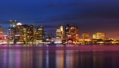
Our facilities are conveniently located just minutes away from Boston’s major highways and are easily accessible from Boston’s Logan International Airport and many public transit routes. Whether it’s by car, train, bike, bus, or on foot, getting to and from our centers couldn’t be easier!

Interactive Map
Our interactive map shows you where the MCEC and Hynes are located and with just a mouse click, you can identify the most convenient subway stops or Amtrak station near your hotel or our convention centers.


